Using the Unitree Go2 quadruped robot, AIRS has achieved point-cloud mapping and navigation over a 100 m × 100 m area without additional hardware.
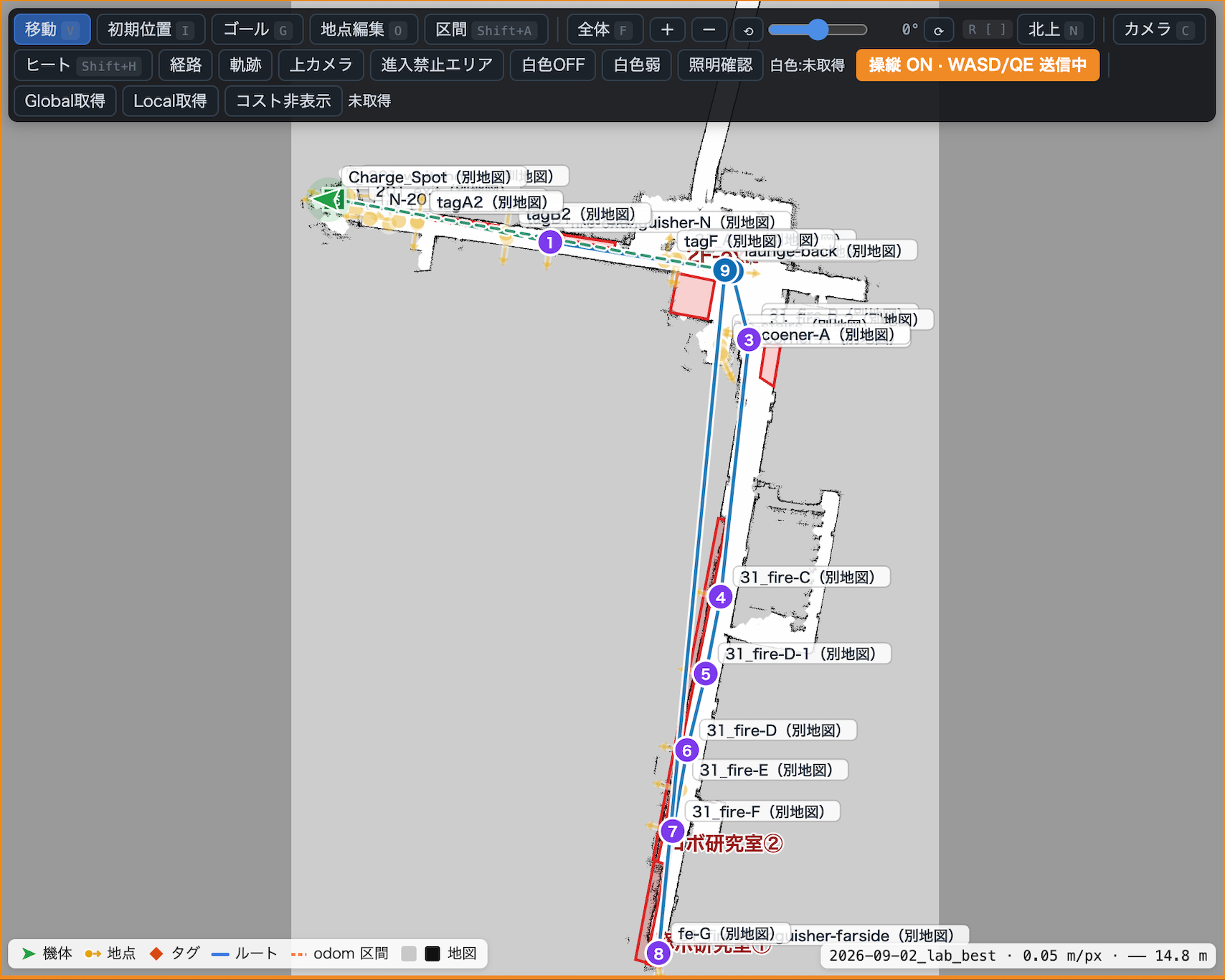
Robot control interface showing a map and route.
A point-cloud map represents the shapes of surrounding objects, such as walls and pillars, as many individual points. To move autonomously, a robot needs not only a map but also a way to estimate its own position within it and travel to a destination. Unitree Go2 comes with a built-in LiDAR, a sensor that measures distances to its surroundings with a laser, but its data alone could not produce an accurate map. AIRS therefore developed its own system, which uses only the built-in LiDAR, with no added sensors or equipment, to create an accurate point-cloud map of a 100 m × 100 m area and navigate using that map. Because no additional hardware is needed, it can be deployed without extra equipment costs or installation work.
AIRS aims to make robots usable on an ongoing basis at real sites. Building on this mapping and navigation work, we will pursue applications in patrol and inspection in factories and facilities. For inquiries about robot deployment or on-site trials, please contact us.